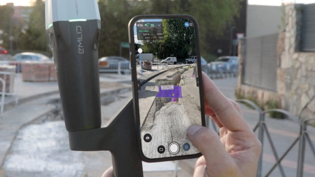
Models can be overlaid on-site and visualised for approval during design and construction
Pix4D has launched PIX4Dcatch 2.0, the latest release of its iOS mobile app for terrestrial scanning. Version 2.0 adds ‘professional-grade’ augmented reality (AR) capabilities and extended compatibility with Real-time Kinematic (RTK) positioning devices.
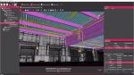
PIX4Dcatch uses a combination of photogrammetry and LiDAR technology, enhanced with RTK positioning for precision, to generate ‘high-accuracy’ 3D models of site conditions.
According to the company, it delivers 1cm accuracy under good conditions, with < 5cm average accuracy and < 10cm maximum accuracy under certified testing conditions.
The iOS mobile app is compatible with Pix4D’s cloud and desktop-based photogrammetry processing software.
The new AR feature enables users to interact with the site in real time. Models can be overlaid on-site and visualized for approval during project design, construction, and post-construction inspections.
Annotations and field notes can be sent from the office to the site where they can be viewed in context. Scans and 3D models of underground utilities can be visualised with AR, after trenches are filled, with a view to reducing maintenance costs.
PIX4Dcatch 2.0 adds support for three new RTK devices (the Emlid Reach RX, the Trimble DA2, and the Bad Elf Flex) with more coming soon. Other new features include automatic Tag Detection for GCPs and MTPs and compatibility with selected base stations.