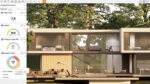
With Plexscape’s Plex-Earth 5 AutoCAD plug-in engineers can monitor site conditions throughout a project
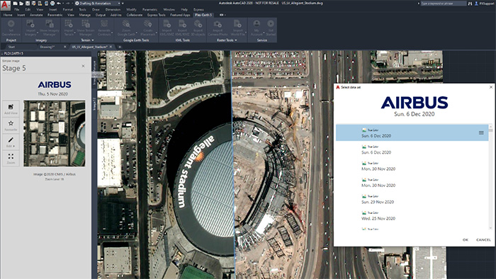
AutoCAD users can now get ‘easy and fast’ access to a ‘living library’ of satellite imagery from OneAtlas, the geospatial digital platform from Airbus.
By using Plexscape’s Plex-Earth 5 AutoCAD plug-in engineers can access up-to-date imagery to help get a complete understanding of their project sites’ conditions from the very beginning of their design workflow.
According to Plexscale, this speeds up processes and avoids the high cost of rework by reducing errors.
Users of the service can also get insight into how site conditions change over time, as they get access to Airbus’ massive historical database, which can go back more than 10 years into the past.
If you enjoyed this article, subscribe to our email newsletter or print / PDF magazine for FREE